
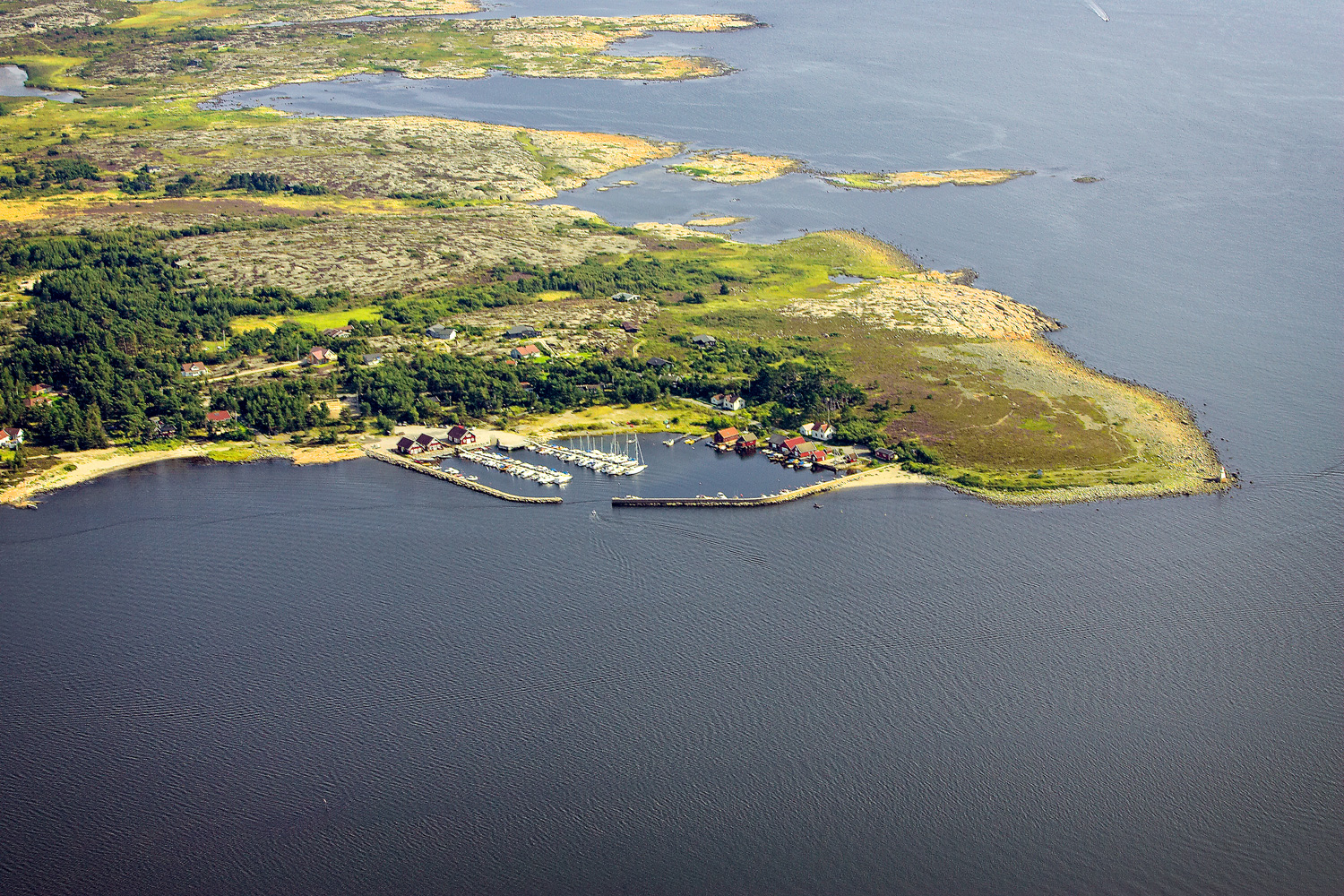
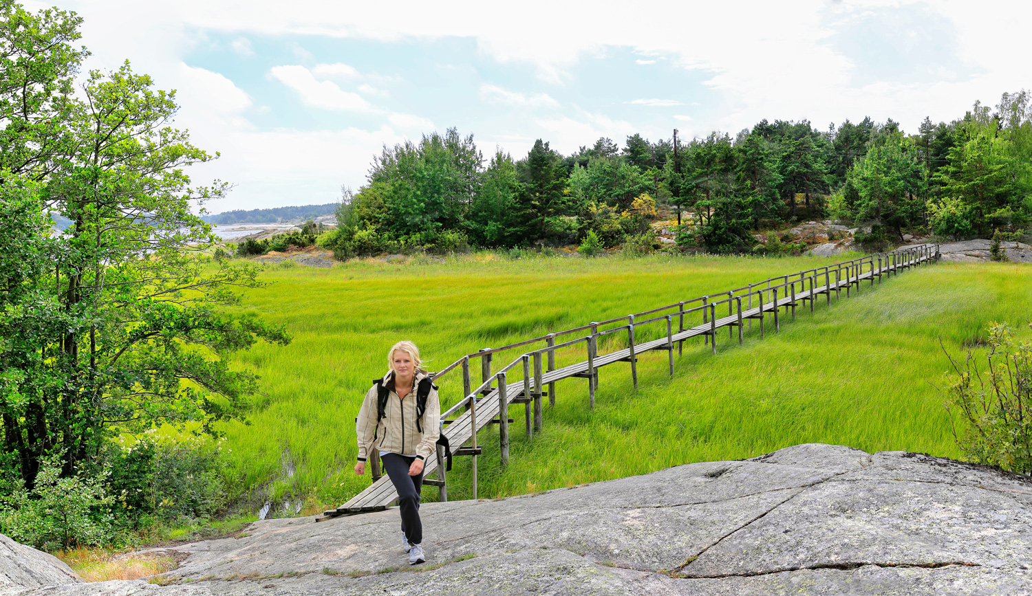
The Coastal Trail - Asmaløy
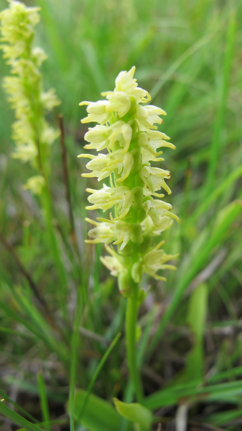
Asmaløy is a good starting point for hiking. You have lots of opportunities for walks on the narrow woodland paths running around the island. The coastal path on Asmaløy starts at Åsebu by Hvaler's main road. From here the trail continues along the idyllic Asmal sound and down to Brattestø where we find the first attraction on the trip, the Pikesten Lighthouse. The trail continues past Pikesten and further soutwards. Here is a wonderful public area with lush meadows, coastal heathlands, pebble rocks and one of Hvaler's longest continuous polished rock areas. The south-western side of Asmaløy is a gold mine for those interested in botanical or geological rarities. Bring a book on flora as well as one about birds! Here are particularly many flowers in early summer. If you are lucky, you might find the very rare Honey Flower.
At Pikesten and Svarteberg traces after the Ice Age are particularly significant. The outer moraine is visible with huge amounts of pebble. Among the rolling stones are many different types of stone, not just granite, because the ice transported stone over large distances. Hvalskrottfjell and scraping stripes indicate the direction of the ice movement.
Vi proceed over the polished rocks at Svarteberg and eventually meet a fenced-in area with its own gate. You are allowed into this rare and beautiful beach grassland. This is Skjellvik and Huser Beach Grasslands. In the Skjellvik-Huser area there are protective measures taken to safeguard the open and wonderful beach rock landscape on the waterfront. The area is undergoing a strong growth of too much vegetation. It is therefore necessary to take measures to prevent overgrowth.

Skjellvik and Huser Beach Grasslands
The Skjellvik and Huser area on south-western Asmaløy is the area in Østfold with the most endangered and vulnerable plants. Grazing the area will keep the vegetation down and contribute to safeguarding of rare plant communities dependant on harvesting or grazing on non-fertilized land. Much of the scrub and three vegetation will be cleared. Heifers, sheep and horses will graze the area.The animals are not aggressive, but they may be curious. Traffic in the area is allowed. Because of grazing animals and wildlife in general, remember to keep dogs on mandatory leashes. Please also remember to close the gate! Hvaler municipality hopes this measure will lead to enriching the area, and asks for for understanding that traffic must be conducted with regard to grazing animals. Fencing of the area is part of the management plan for Ytre Hvaler Nasjonalpark (Outer Hvaler National Park).
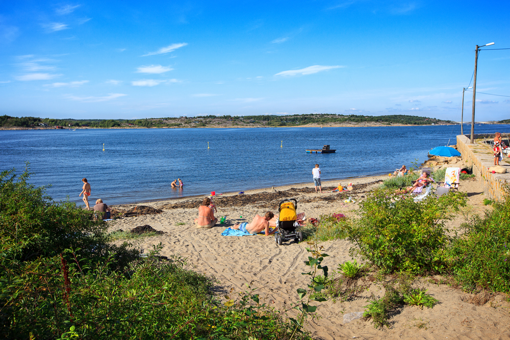
Follow the trail across the beach meadow on the north side of Skipstadkilen. By Huserstøet you pass a shipwreck that triggers the iganiation of both children and adults. Follow the shoreline and eventually the trail past Skipstadkilen and Vikerkilen. They are both shallow bays with a very rich birdlife. After Vikerkilen you move up on Vikertangen. From the highest point on Vikertangen is a nice view to the north, across the polished rocks and to the south across the ocean.
Skinnarholmen
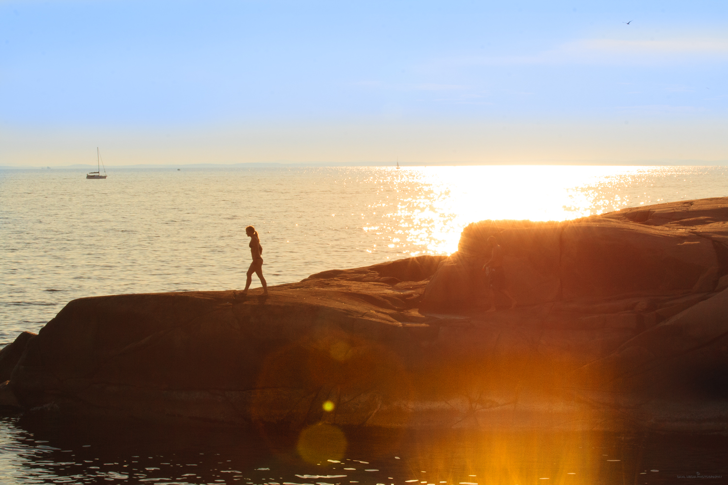
The terrain at Vikertangen consists of outcrops with crevices and rocks. The former military area here is not fenced, but has a bulding and a radar mast, Vikertangen Radar Station, managed by Kystverket (The Norwegian Coastal Administration). The surrounding areas are owned by the state. A tempting area for sunbathing and fishing. On the outside of Vikertangen is the popular Skinnarholmen. Here it is nice to swim from the shore. We need a boat to get out to the islet. Also take particularly notice of the beach on Skinnarholmen. It is totally blue with mussels.The name stems from back in the day when a "skinner" lived here, a craftsman working with fur and skins.
Vikerhavn
Behind the radar station the trail turns east and we arrive at Vikerhavn. Here is a good harbor with a breakwater an a mix of all-year and summer houses. The houses are well situated in the barren landscape, and it's nice to just stroll along the gravel roads here. The landscape here is open and beautiful. The area at Vikerhavn is characterized by rocks with low and scattered vegetation, thus enabling you to have a great view of the ocean. From Vikerhavn you can retrack your route back to Brattestø or take the path leading further inland, and at the same time being no farther from the shore that you can occasionally get a view of the ocean and beach areas. This is also a great hike!

Kirkøy
Kirkøy has a rich history with memorials from changing eras, Bronze Age mounds, house foundations from the Middle Ages, a medieval church, nature reserve and remains of masonry.
Fredrikstad
There are many highlights during the last leg of the Fredrikstad coastal trail. Here you can experience the swimming spots Foten, Helleskilen, Dypeklo and Solvika at Engelsviken. Torgauten fortress, dramatic viewpoints, such as Helleskilfjellet, Dypeklo, Mærrapanna, Vikane, Bråtaberget and Smaustangen, Blåsopp picnic area with a direction disk, Engelsviken and magnificent Elingaard mansion.

Vesterøy
To walk the coastail trail on Vesterøy is a trip that offers most of what a true hiking heart may desire. Here you can see Hvaler in a "nutshell", and the best of what Norway has to offer in terms of archipelago nature.
Søndre Sandøy
Bring your bike! Here, on the car-free island there are so many wide and narrow paths that it would take days to get to know them all, so here the bike comes in handy. The coastal trail om Søndre Sandøy is just a tiny part of the large network of paths on Norway's most forested island.